


Suchergebnisse für "national geographic karten national geographic atlas wall maps national geographic canada wall map"
-
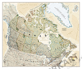
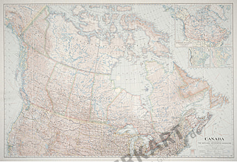
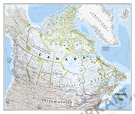 Kanada Landkarte 96 x 81cm
Ab 25,90 €
-
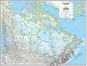 Kanada Landkarte 91 x 73cm
Ab 49,90 €
-
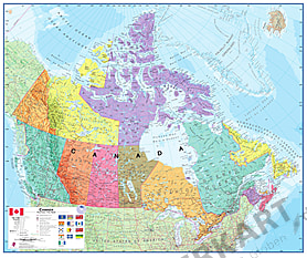 Kanada Landkarte politisch 120 x 100cm
Ab 24,90 €
-
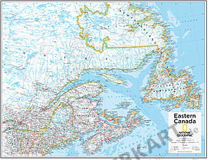 Östliches Kanada 91 x 73cm
Ab 49,90 €
-
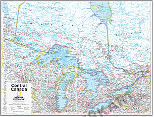 Zentral Kanada 91 x 73cm
Ab 49,90 €
-
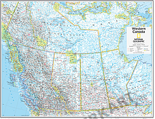 Westkanada 91 x 73cm
Ab 49,90 €
-
 Kanada Landkarte Executive 96 x 81cm
Ab 25,90 €
-
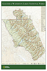
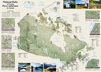 National Parks in Kanada 106 x 76cm
Ab 25,90 €
-
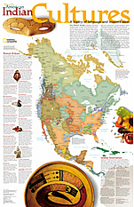
 Kultur der Indianer 58 x 91cm
Ab 25,90 €
- Arizona Landkarte 84 x 102cm
Ab 24,90 €
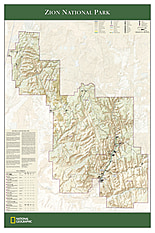
- Zion National Park Landkarte 61 x 91cm
Ab 24,90 €
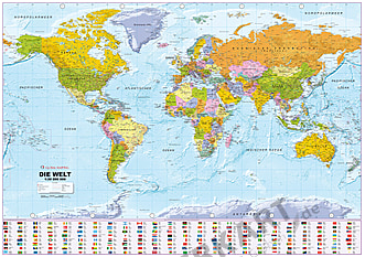
- Nordamerika Karte politisch 100 x 120cm
Ab 19,90 €
- Heiliges Land Karte 51 x 79cm
Ab 21,90 €
- Kasachstan Landkarte physikalisch 120 x 88cm
Ab 29,90 €
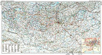
- Mongolei Landkarte 124 x 83cm
Ab 29,90 €
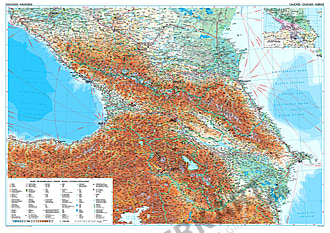
- Kaukasus Landkarte 117 x 83cm
Ab 29,90 €
- Irak Landkarte physikalisch 73 x 68cm
Ab 29,90 €
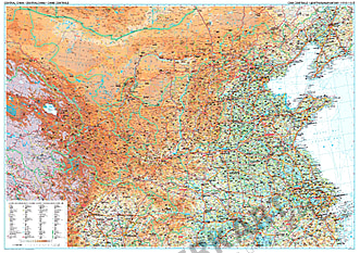
- China Zentral Karte 125 x 88cm
Ab 24,90 €
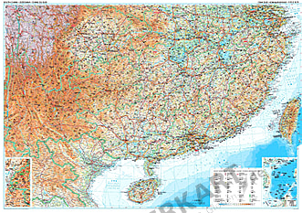
- Südchina Karte mit Taiwan 125 x 88cm
Ab 29,90 €
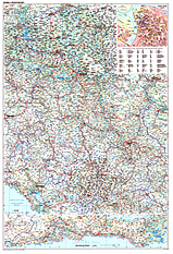
- Serbien Montenegro Karte 81 x 118cm
Ab 24,90 €
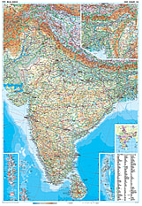
- Indien Landkarte physikalisch 86 x 125cm
Ab 29,90 €
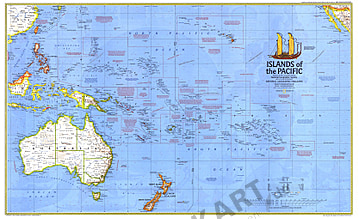
- 1974 Inseln des Pazifik Karte 94 x 57cm
Ab 49,90 €
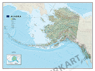
- Alaska Landkarte 103 x 77cm
Ab 34,90 €
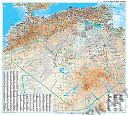
- Algerien Landkarte ca. 99 x 88cm
Ab 24,90 €
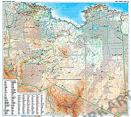
- Libyen Landkarte physikalisch 98 x 88cm
Ab 24,90 €
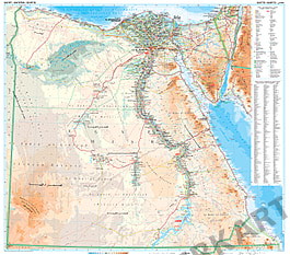
- Ägypten Landkarte physikalisch 100 x 88cm
Ab 29,90 €
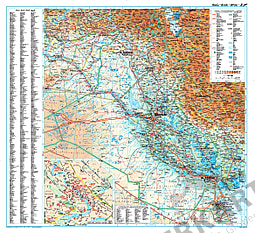
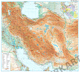
- Iran Landkarte physikalisch 98 x 88cm
Ab 29,90 €
- 1985 Kanada Karte 86 x 57cm
Ab 49,90 €
- 1961 Kanada Karte 63 x 48cm
Ab 34,90 €
- 1936 Kanada Karte 99 x 67cm
Ab 49,90 €


Kontakt
Sonderanfertigungen, Wünsche, Fragen?
Wir helfen Ihnen gerne weiter.
Ansprechpartner:
